Spatial Information Science (SIS)
SIS: Collecting, processing, analysing and visualising data to produce and validate spatial information while being acutely aware of the provenance of the data (its metadata) and data uncertainty.

The digital twin (DT) (smart city/3D modelling) topic currently attracts the attention and interest of many cities, authorities, industrial and research organizations at national, European and inte
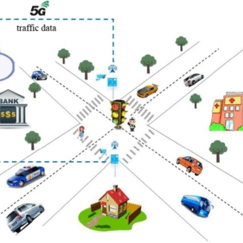
The digital twin (DT) (smart city/3D modelling) topic currently attracts the attention and interest of many cities, authorities, industrial and research organizations at national, European and inte
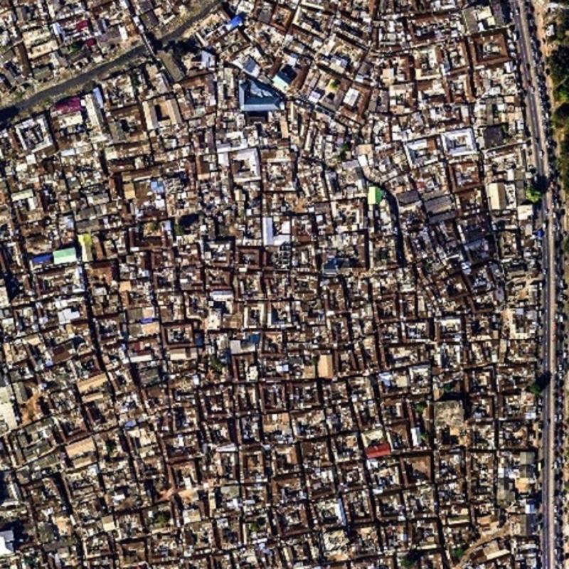
Mapping slums in different urban environments across the Globe is extremely important for locating and prioritizing hotspots of urban poor for urgent climate action to combat the impact of cl
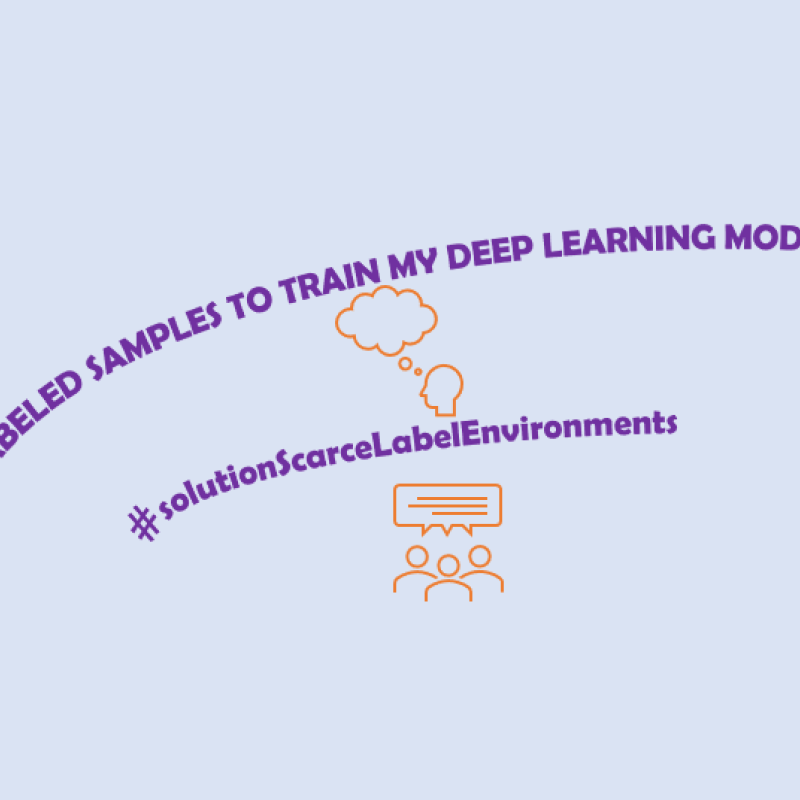
Deep learning algorithms have gained increasing popularity in remote sensing due to their accuracy.
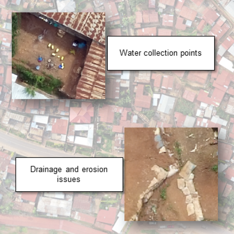
UN-Habitat estimates that over one billion people around the world live in slums, which are often located in hazard-prone areas.
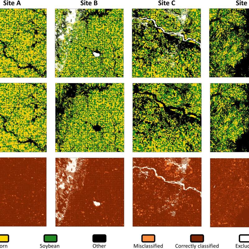
Deep learning algorithms can achieve great accuracies, but there are also concerns about biases and generalizability to unseen data.
In cities, temperatures are often higher than in the surrounding areas and can also vary locally.
This study aims to develop methods that can be used to delineate pollution events.
Climate data will be used to assess heat risks.
Thermal remote sensing is a type of passive remote sensing that detects naturally emitted radiation.