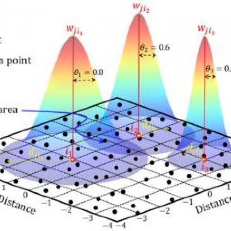
Spatial Information Science (SIS)
SIS: Collecting, processing, analysing and visualising data to produce and validate spatial information while being acutely aware of the provenance of the data (its metadata) and data uncertainty.
The growing public health concerns about ambient air quality such as particulate matter (PM) concentrations suggest the need for a holistic monitoring to guide interventions.
For a skyscraper to be stable, it must be built on a strong foundation. However, several factors such as persistent use, aging and deterioration, etc.
Land use classification of urban area is one of the most important applications of remote sensing images. Urban management is generally in demand to account the dynamics of land uses.
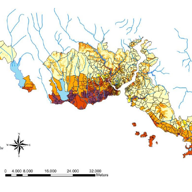
Humanitarian organizations such as the Red Cross Red Crecent and Unicef use risk models to identify vulnerable populations and mitigate the affects of natural disasters.
With the increasing availability of remotely sensed data, there is a pressing need to develop efficient and scalable methods for converting satellite images into useful information.
The challenge of this topic is to detect a change or trend on top of seasonal fluctuations.
For years, MODIS images have been instrumental in divers environmental and ecological studies such as monitoring deforestation, land-us/land-cover (LULC) changes, agriculture and epidemiology.
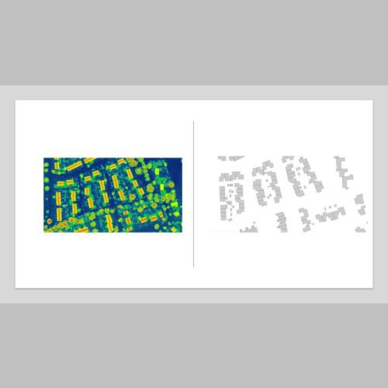
2D outlines or footprints of buildings are either generated from high resolution images or point cloud data.
Urban systems consist of multiple interrelated components, including physical and social structures,