Spatial Planning for Governance (SPG)
SPG: How we understand, organize and use our living environment, within a governance setting, where stakeholders —acting as a source of ideas and expertise, as clients, as co-designers or advocates of specific solutions— negotiate their relations while exploring, structuring and defining problems, as well as when designing potential solutions.
Improved quality of life is one of the New Urban Agenda (NUA) underlined sectors to be incorporated "in every urban development or renewal policy and strategy" (UN-Habitat, 2017).
Food packaging is responsible for 5.4% of global food systems emissions in 2015 (Crippa et al., 2021).
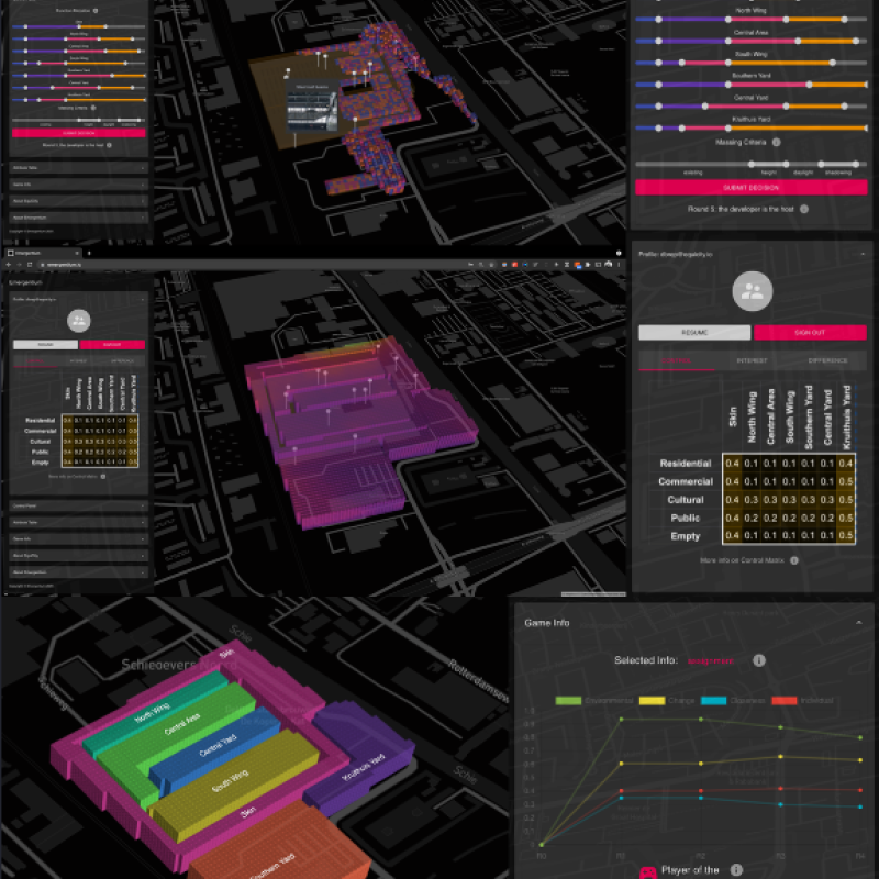
The decisions made on the spatial configurations and distributions in the built environments (urban or rural developments) directly affect the environment as well as the interests of various stakeh
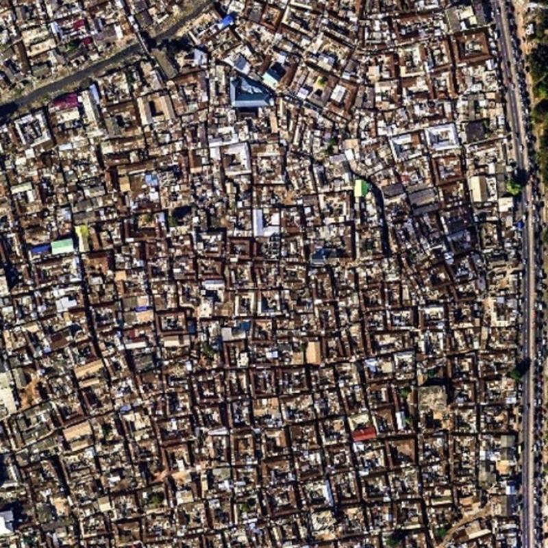
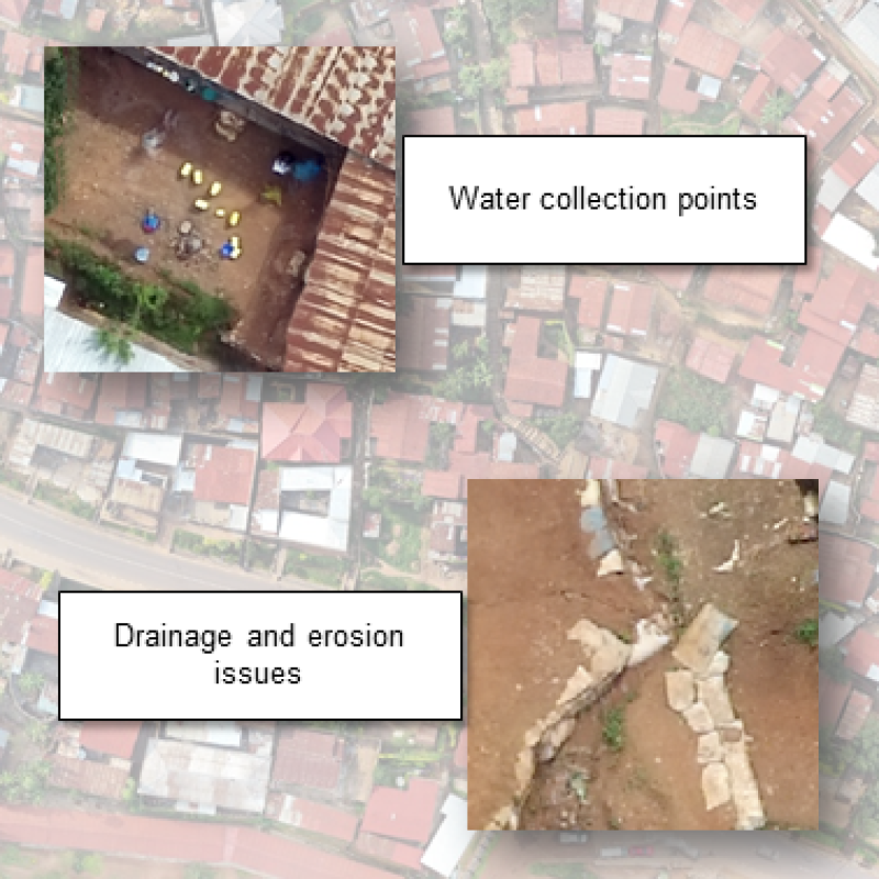
Mapping slums in different urban environments across the Globe is extremely important for locating and prioritizing hotspots of urban poor for urgent climate action to combat the impact of cl
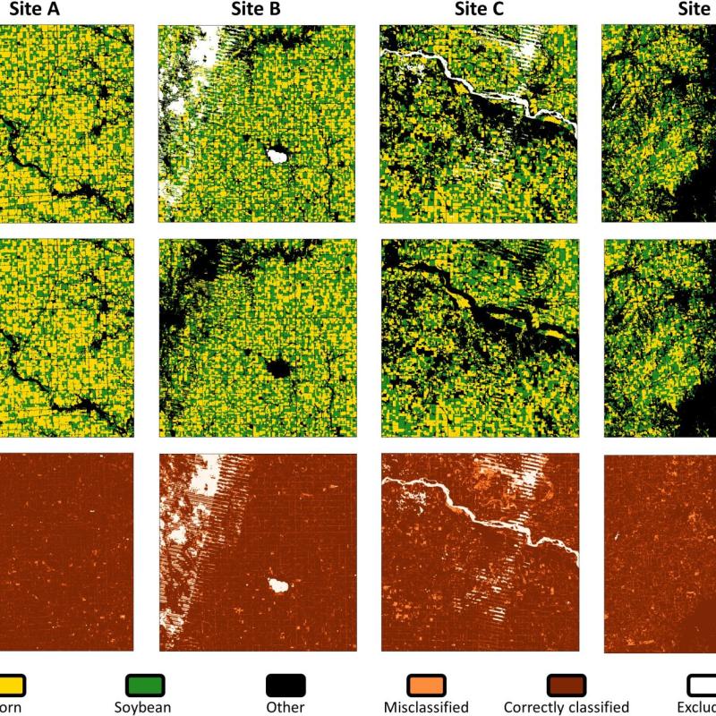
Deep learning algorithms have gained increasing popularity in remote sensing due to their accuracy.
UN-Habitat estimates that over one billion people around the world live in slums, which are often located in hazard-prone areas.
Deep learning algorithms can achieve great accuracies, but there are also concerns about biases and generalizability to unseen data.
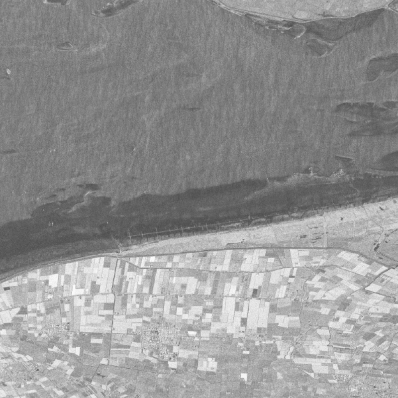
Spanish PAZ, which was launched in February 2018, offers co-polarimetric (with HH and VV channel) SAR images with X-band and (down to) 11 days repeat cycle.
So far, more than 6.5 million people have died from COVID-19, and still, there are around 1000 deaths per day.
This study aims to develop methods that can be used to delineate pollution events.

