Francesco Nex
RGB cameras are inexpensive, lightweight sensors that provide information-dense data for various tasks, such as localisation, 3D reconstruction, and scene understanding.
3D reconstruction using stereopairs is still an open research topic in different communities, such as computer vision, research and remote sensing.
Visual Simultaneous Localisation And Mapping (SLAM) has been one of the most relevant research topics in robotics for the last two decades.
The autonomous drone exploration is a relevant topic in the robotics community.
Fertilisers and pesticides represent one of the biggest sources of pollution generated by intensive agriculture. The main problems lie in the wat these compounds are sprayed over large crop areas.
Monitoring the vibrations of infrastructure, such as bridges, is a critical aspect of Structural Health Monitoring (SHM) [1] to ensure safety.
Air pollution remains a critical public health challenge across Europe and globally.
Neural Radiance Field (NeRF) stands as a category of neural networks adept at represent and render realistic 3D scenes environments using a set of 2D images.
Unmanned Aerial Vehicles (UAVs) have found significant applications in road monitoring, offering a versatile and efficient solution for infrastructure assessment and
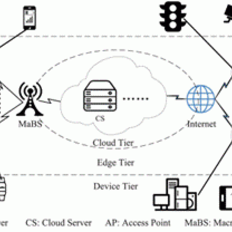
Unmanned Aerial Vehicles (UAVs) are increasingly used within a Mobile Edge Computation (MEC) network where the UAV is made intelligent by equipping it wit


