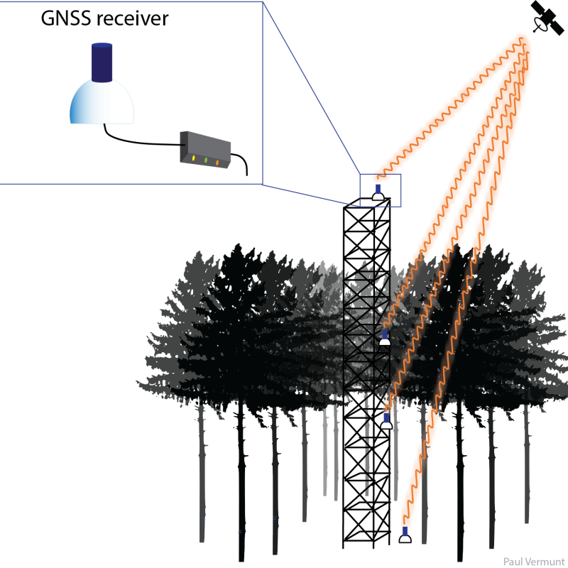
Spatial Information Science (SIS)
SIS: Collecting, processing, analysing and visualising data to produce and validate spatial information while being acutely aware of the provenance of the data (its metadata) and data uncertainty.
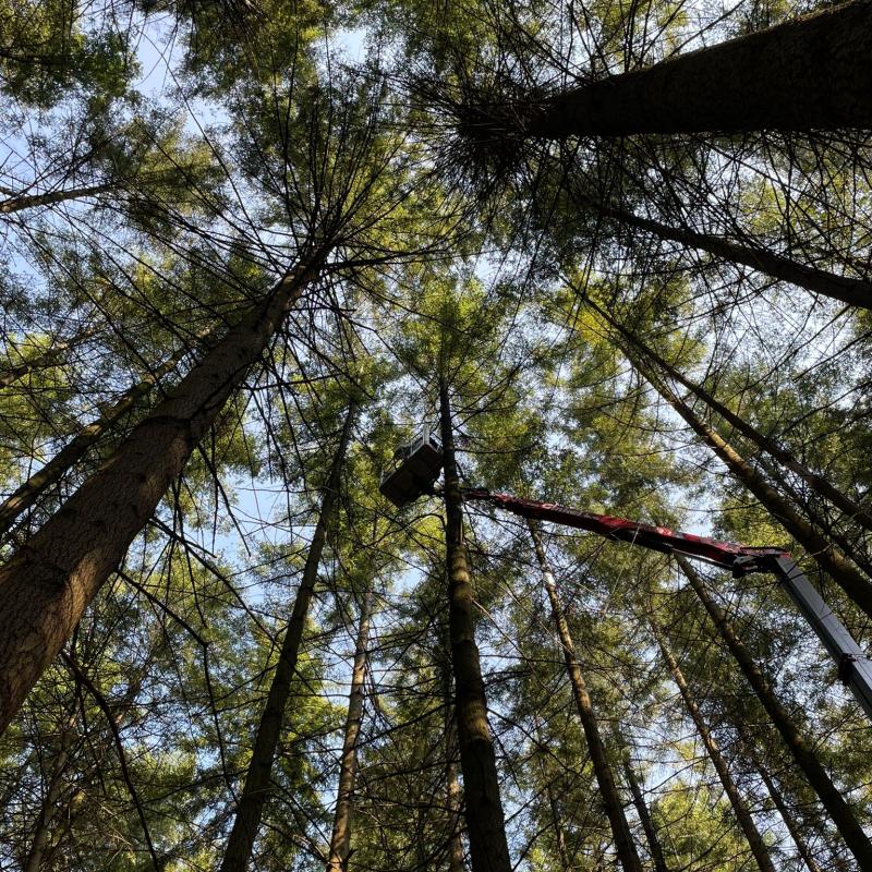
Forest health worldwide is increasingly deteriorated by droughts.
Forest health worldwide is under pressure as a result of prolonged droughts.
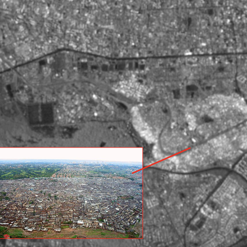
Urban slum is often vulnerable to environmental changes such as subsidence, as it has densely populated inf
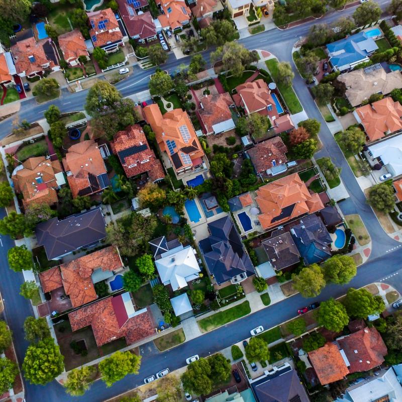
Urban land surface temperature (ULST) dynamics are influenced by a myriad of factors related to urban landscape character.

In the realm of artificial intelligence (AI), the advancement of large language models (LLM) like GPT-4, the base model of ChatGPT, has revolutionized natural language processing.
Land or property tax is one of the oldest forms of taxation; it is relatively fair and it is not easy to hide properties.
This thesis topic wants to explore how the design of public spaces can facilitate social interaction, and how ICTs can be used to i
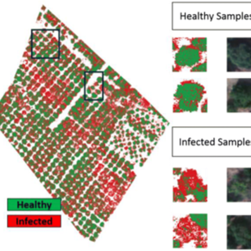
The fusion of UAV-based and satellite-based data has emerged as a powerful approach for plant health monitoring in agriculture.
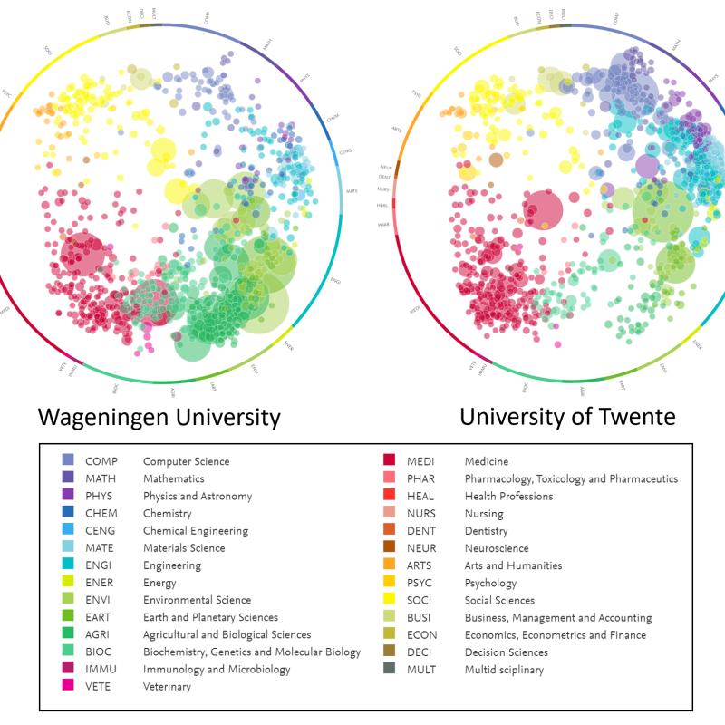
Individuals and the organisations in which they work need to cooperate in projects and research to withstand an increasing competition.
Although large language models (LLM) have been around for a while, the public release of ChatGPT demonstrated a quantum leap in the abilities of these models to respond to natural