Spatial Information Science (SIS)
SIS: Collecting, processing, analysing and visualising data to produce and validate spatial information while being acutely aware of the provenance of the data (its metadata) and data uncertainty.
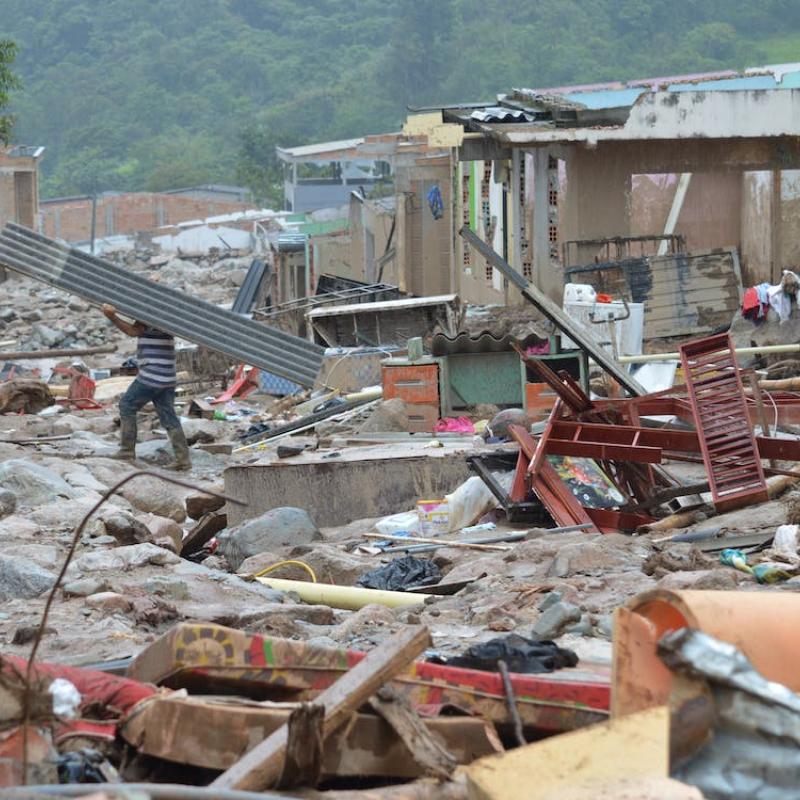
Climate change leads to a increased frequency of extreme precipitation and prolonged drought period, both of which have a severe impact on the landslide in

Real estate properties are fundamental assets for securing credit among individuals and companies alike.


Advances in AI enable new approaches to solve existing problems, but they also create new challenges especially concerning the veracity and validity of digital content.
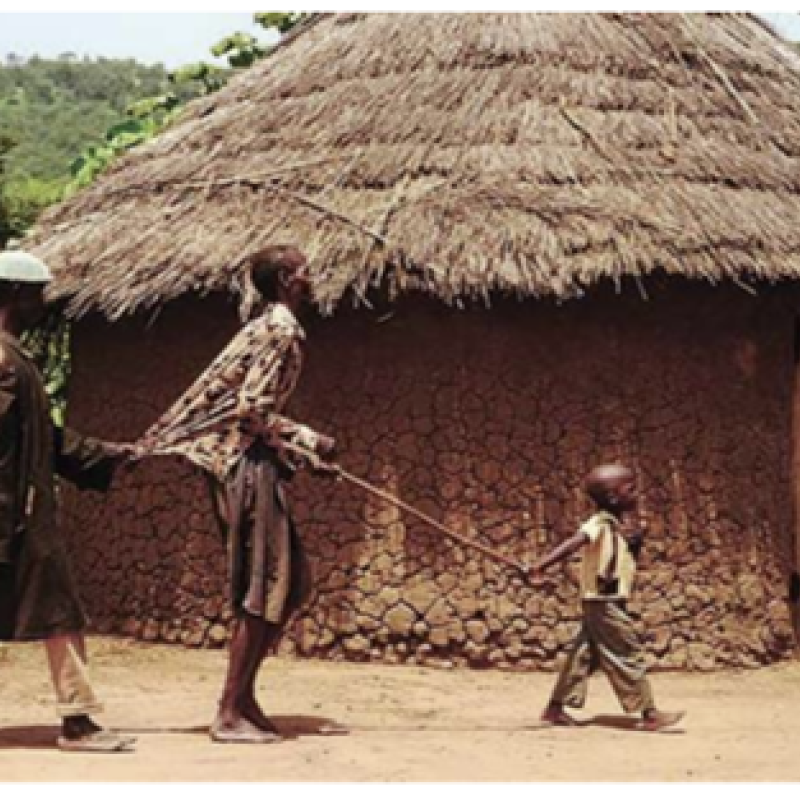
Human onchocerciasis (river blindness) is part of the so-called Neglected Tropical Diseases (NTDs) that jointly affect more than one billion people living in impoverished communit
Daily totals or daily averages are convenient to work with and provide a first, rough impression of the wea
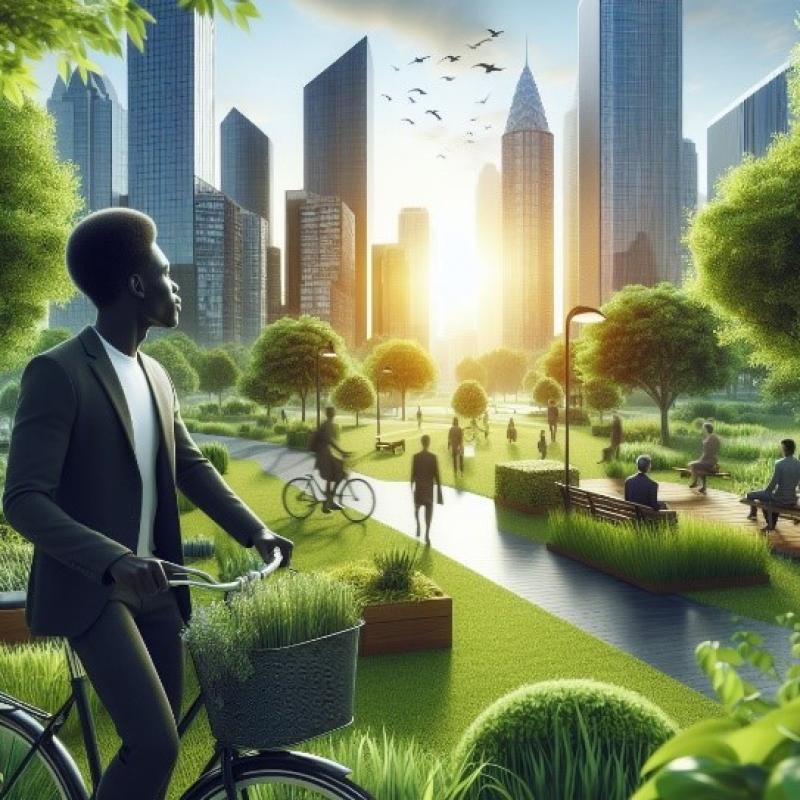
Green spaces are fundamental for the well-being of individuals and communities as they provide areas for recreation, which is essential for the quality of life in cities.

A wide range of topics are available (See below).
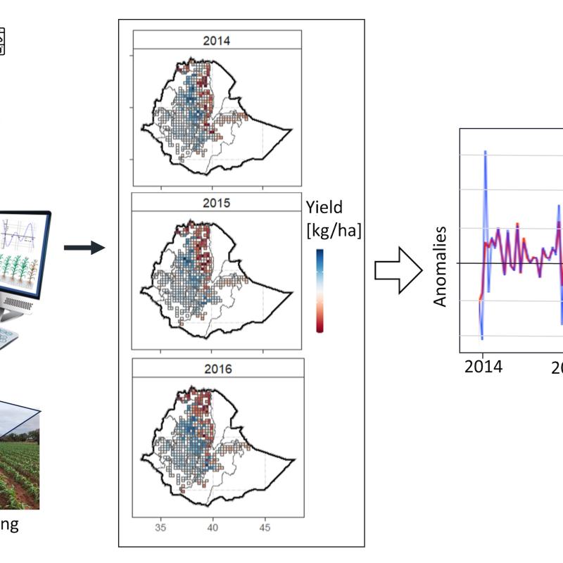
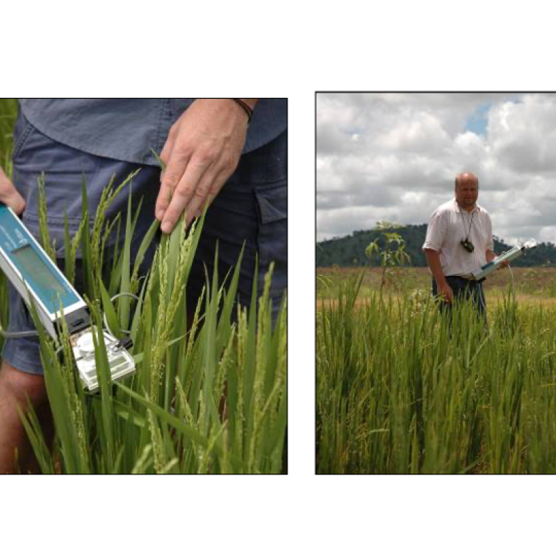
Food insecurity is a big issue in eastern and southern Africa and projections are that this is going to get worse with climate change and variability.
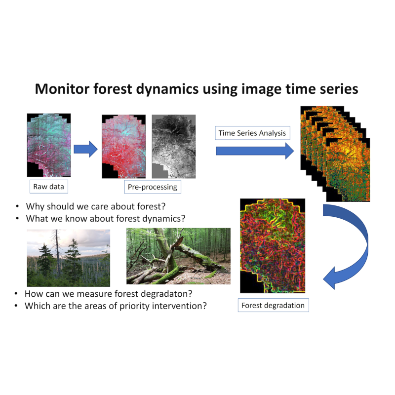
Monitoring forest dynamics is essential for identifying the area most at risk for forest degradation and de