Spatial Information Science (SIS)
SIS: Collecting, processing, analysing and visualising data to produce and validate spatial information while being acutely aware of the provenance of the data (its metadata) and data uncertainty.
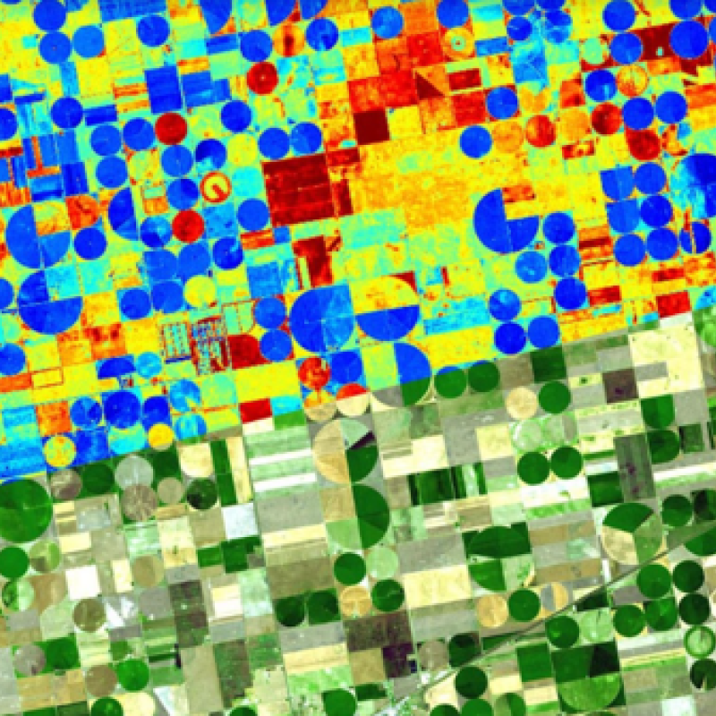
ET is the water lost to the atmosphere through plant stomata during photosynthesis and from the surfa
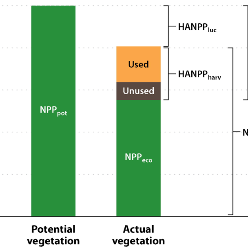
HANPP estimates the actual biomass production (Net Primary Productivity or NPP) following anthropogen
ET is the water lost to the atmosphere through plant stomata during photosynthesis and from the surfa
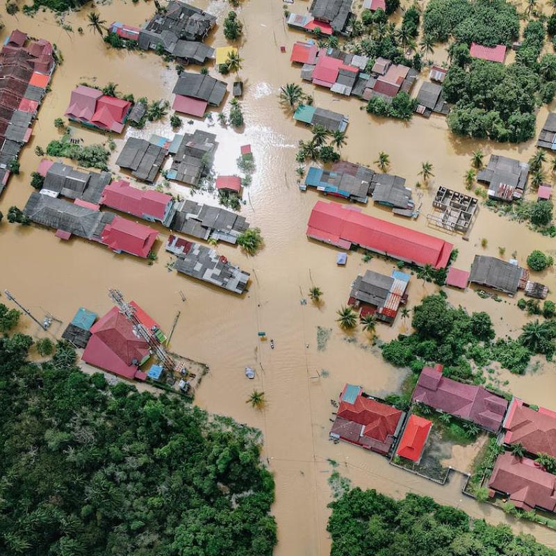
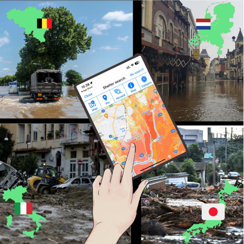
South-Limburg suffers from plvial floods ad flash floods occasionally. The last floods in 2021 caused immense damage in the river Geul.
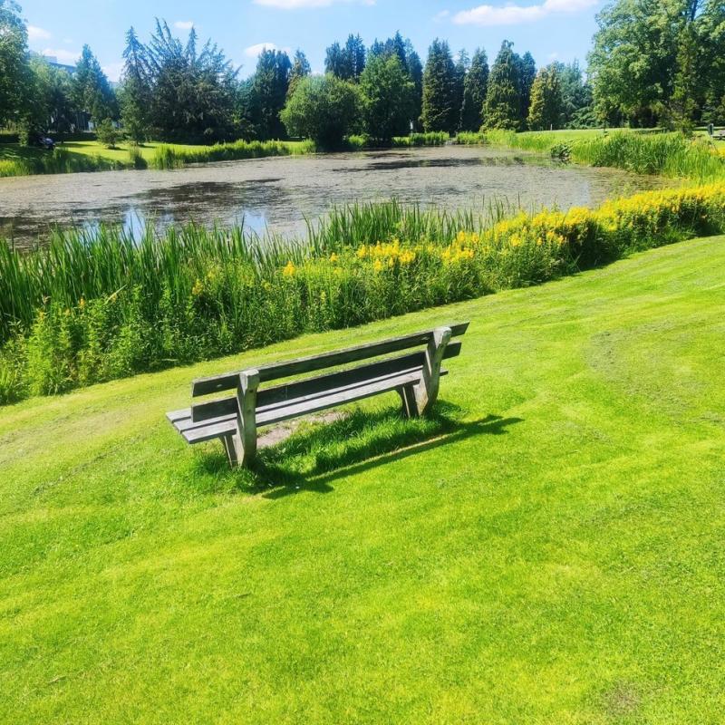
Blue spaces hold many benefits for human health; they not only enable adaptation to climate extremes by providing cooling effects, but they are
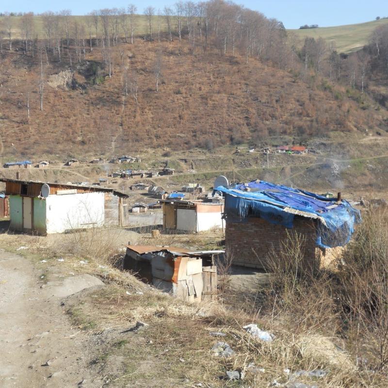
Vulnerable groups at the margins of societies in Europe, such as Roma people, often live in informal settlements, where they experience water a
This proposed thesis topic explores the potential of Geographic Information Systems (GIS) data to enhance Environmental, Social, and Governance (ESG) reporting, in response to increasing regulatory
This project is part of a 2 year EU MSCA project.

This is a broad thesis topic that aims to develop additional d
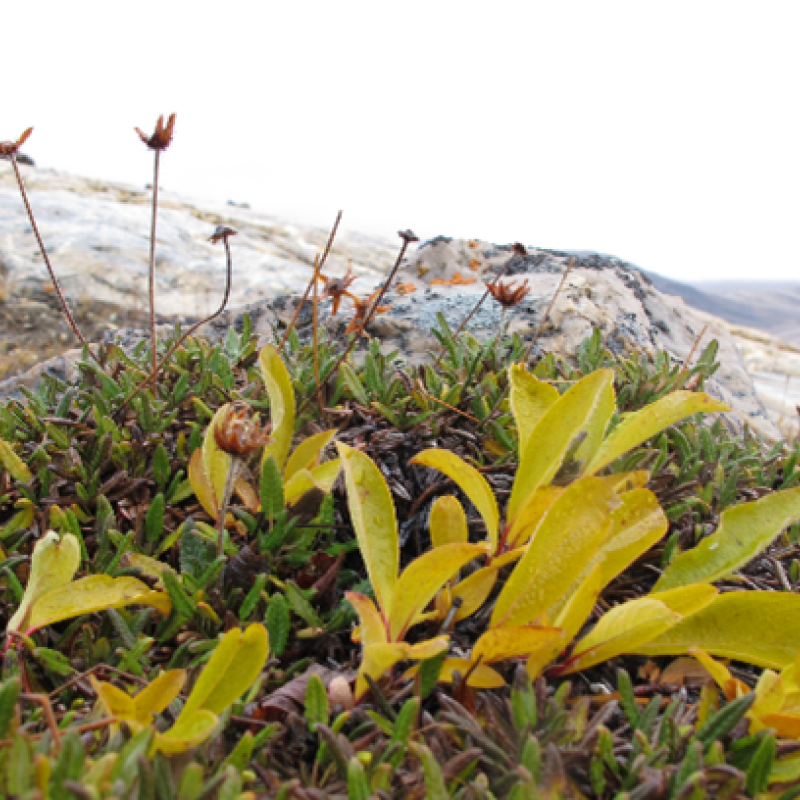
Vegetation is currently scarce on Greenland, and does not occur on the ice-sheet, as it grows around the edges.