Spatial Information Science (SIS)
SIS: Collecting, processing, analysing and visualising data to produce and validate spatial information while being acutely aware of the provenance of the data (its metadata) and data uncertainty.
Climate change is nowadays prominently present on the political and thus scientific agenda, which is reflected in the Dutch Delta-Programme for Spatial Adaptation (“Delta-Programma Ruimtelijke Adap
Sustainable production of food and other biomass-derived products needs checking if, indeed, no harm is done to biodiversity, our environment in general, or to people.
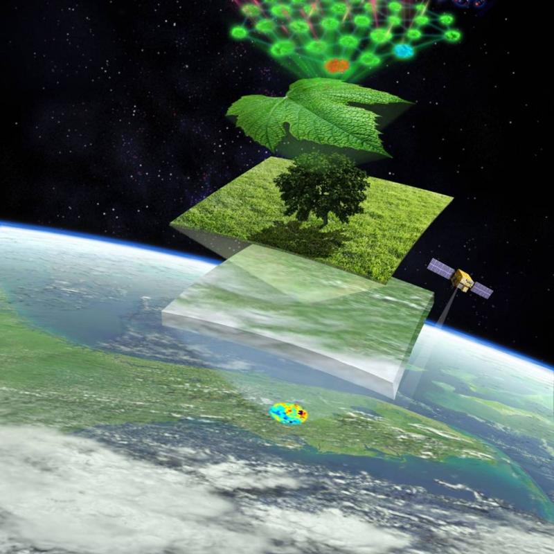
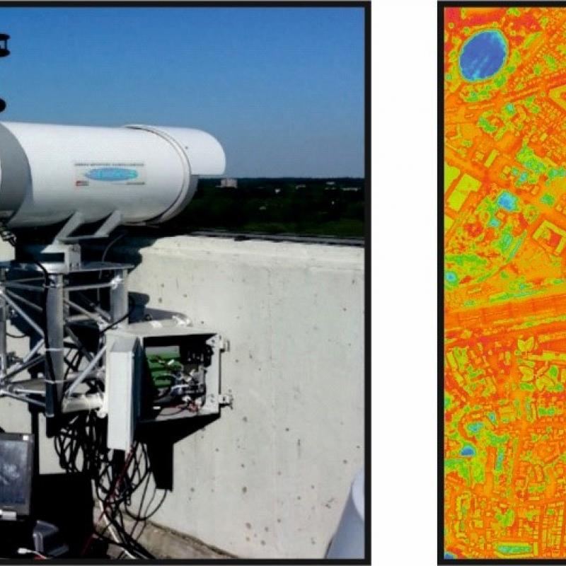
The rate of carbon uptake by vegetation is not fully known.
“Nature-based solutions” (NBS) or “building with nature” have received global attention as a multidimensional approach to reduce impacts of climate change and associated meteorological disaster ris