Spatial Information Science (SIS)
SIS: Collecting, processing, analysing and visualising data to produce and validate spatial information while being acutely aware of the provenance of the data (its metadata) and data uncertainty.
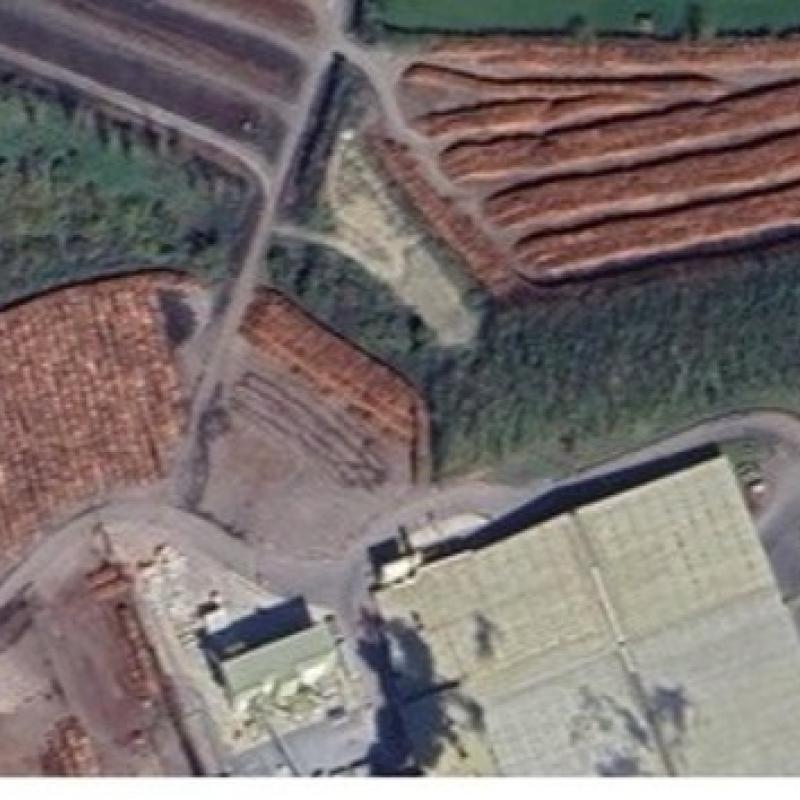
To analyze wood flows and linking the wood industry to forest resources it is useful to know all the saw mills, panel mills, bioenergy facilities, and pulp

In urban environments, GPS-based positioning systems face significant challenges, including signal blockages, low satellite visibility, disconnections, and so caused mainly by dense building struct
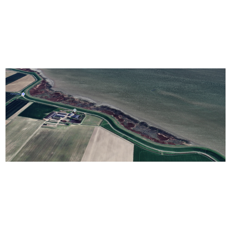
Vegetated intertidal aras, such as saltmarshes and mangroves, are dynamic ecosystems, that are decreasing in spatial extent worldwide.
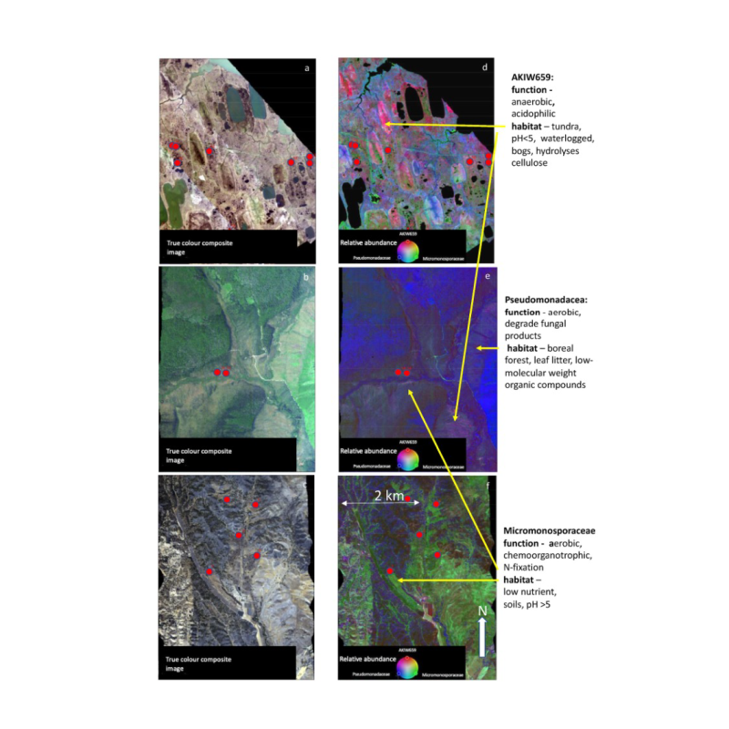
Microbial communities are some of the most diverse and abundant communities in the world and play an essential ro
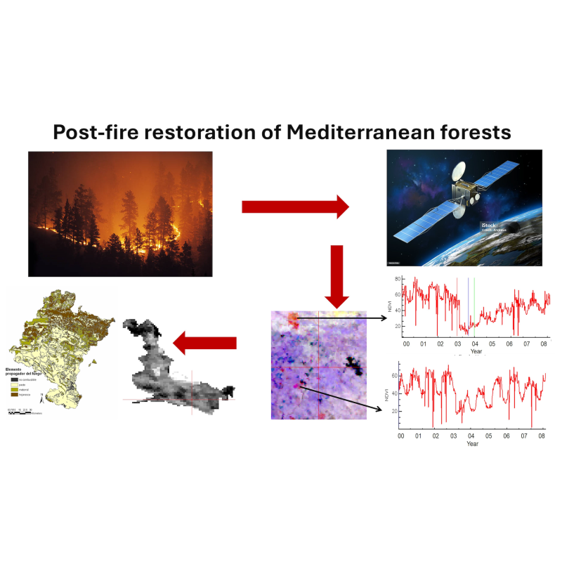
Nowdays, wildfire is one of the most important environmental problems in the world, affec
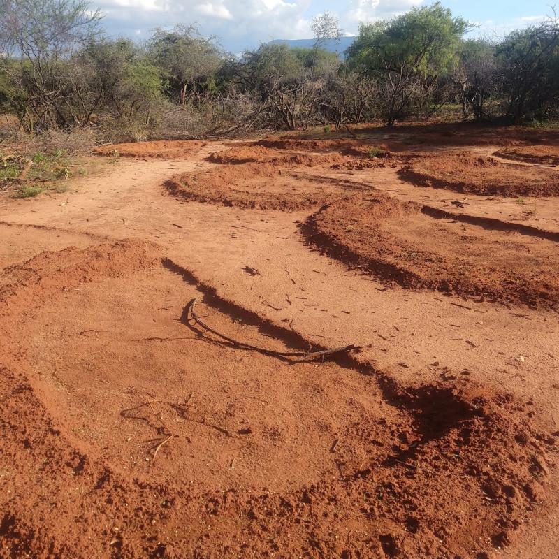
The arid and semi-arid lands (ASALs) of northern Kenya face significant challenges due to climatic va
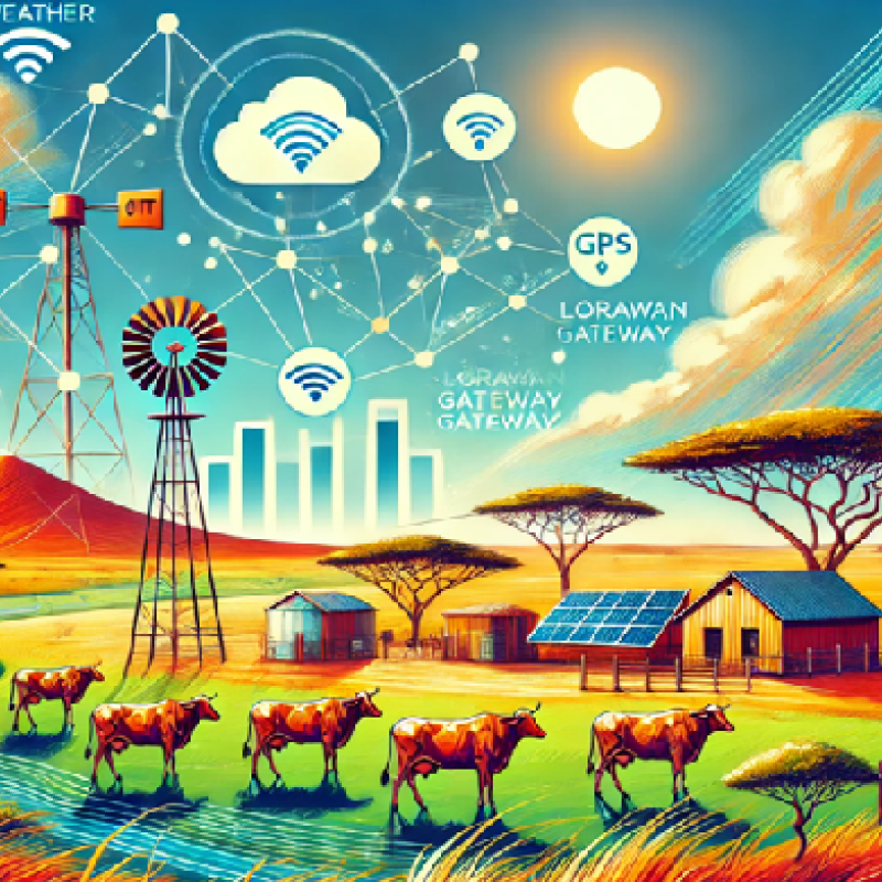
The arid and semi-arid lands (ASALs) of northern Kenya face pressing challenges due to climate change, environmental degradation, and socio-economic vulner
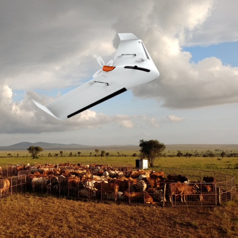
Drones or UAVs are revolutionizing conservation and agricultural practices, offering cost-effective and safe methods for data collection over large, challe
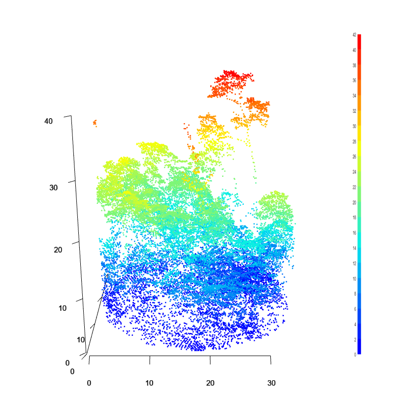
The estimation of AGB and its changes is typically carried out using active remote sensing data such as las
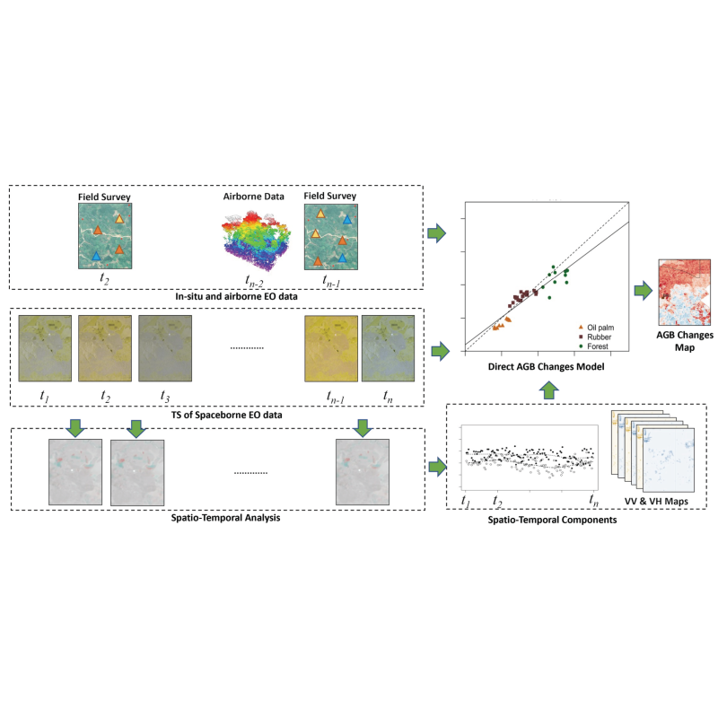
The estimation of canopy height, AGB and its changes is typically carried out using active Remote Sensing d