STAMP

The Antarctic ice sheet covers almost the whole area of the Antarctic continent. It is the largest ice mass on Earth, with an average ice thickness of about 2 kilometers [1].

Generative Design is an umbrella term for a variety of approaches to the derivation of topological-geometric configurations directly from the design requirements and goals in a feedforward process
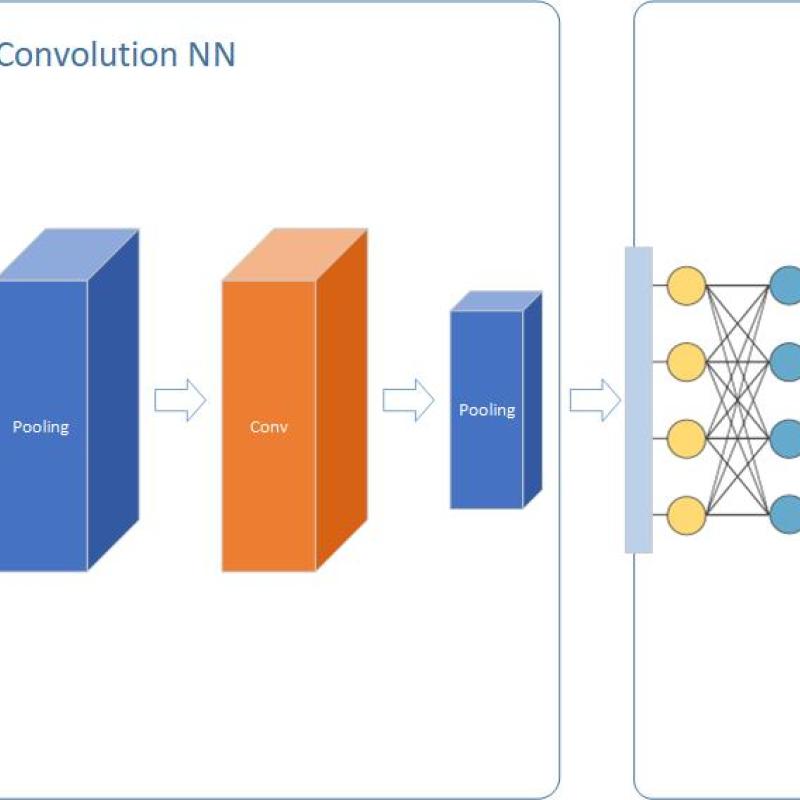
Deep Neural Networks (DNN) is considered as a panacea for different problems in several application areas. But what about spatial modeling?
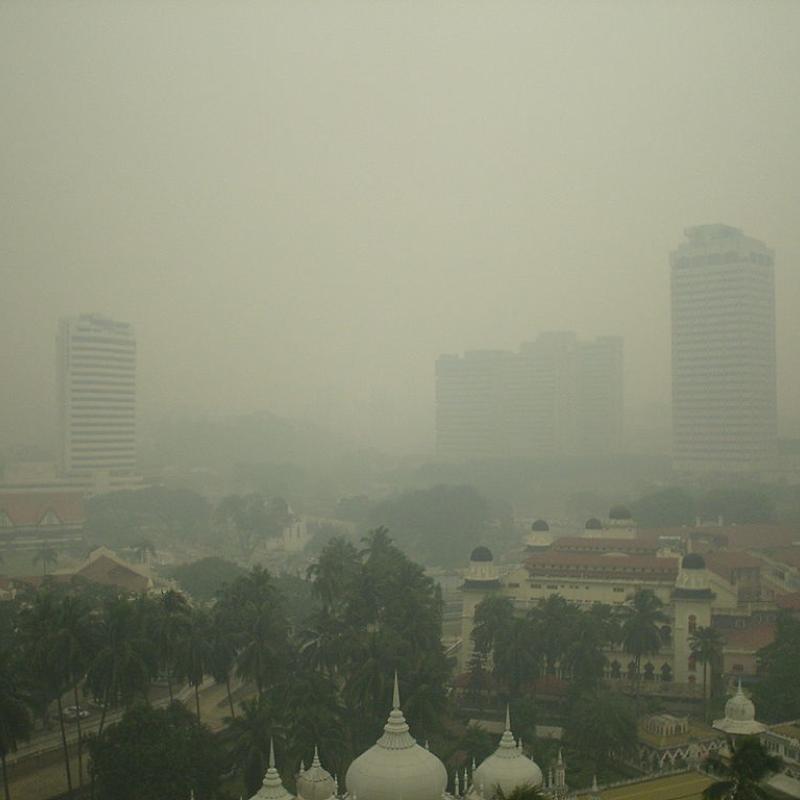
To model air pollution in urban environments while accounting for urban forms using convolutional neural networks (CNN) or Vision Transformers (ViT), open access earth observation

In cities, temperatures are often higher than in the surrounding areas and can also vary locally.

ITC research staff from the GIP, PGM and NRS departments, in collaboration with CRIB have developed global maps that estimate land-based trave

Interactive computational notebooks are browser-based tools that support shared workflows, coding, data, and visualisations.

Geo-referenced time series are data describing the time-changing behavior of one or more attributes at fixed locations and consistent time intervals [1].


The mechanism by which we observe a phenomenon that unfolds in space and time fundamentally determines what we can learn about that phenomenon.