Using the SWOT satellite mission to quantify the impact extent of storm Boris (2024) in central Europe

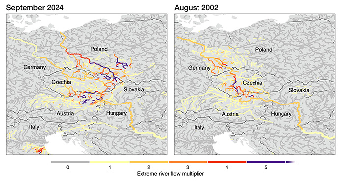
In September 2024, Storm Boris caused massive flooding across Central Europe, causing severe damage including the collapse of the Carolabrucke in River Elbe, Dresden, Germany. The spatial extent of the impact covered multiple central European countries; and caused multiple casualties. The insured flood losses is estimated to be over 2 billion euros (source).


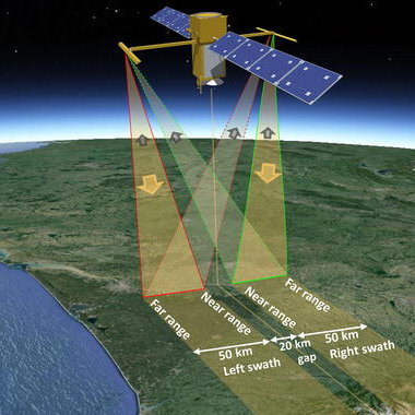
The Surface Water and Topography MIssion (SWOT, https://swot.jpl.nasa.gov/). carries, besides a nadir radar altimeter, also a near-nadir looking SAR instrument. This payload allows the simultaneous detection of both water extent and height, and is a potential tool to map the extent of the flooding of Storm Boris. Moreover, there are discharge products available which may provide information on the dynamics in the rivers.


How well does the SWOT satellite mission capture the flood extent, inundation depth, river discharge, event peak and flood propagation of the recent Central
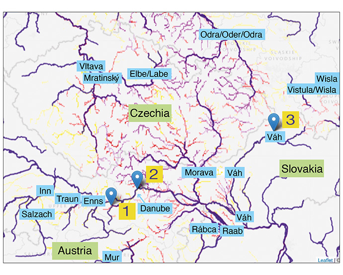
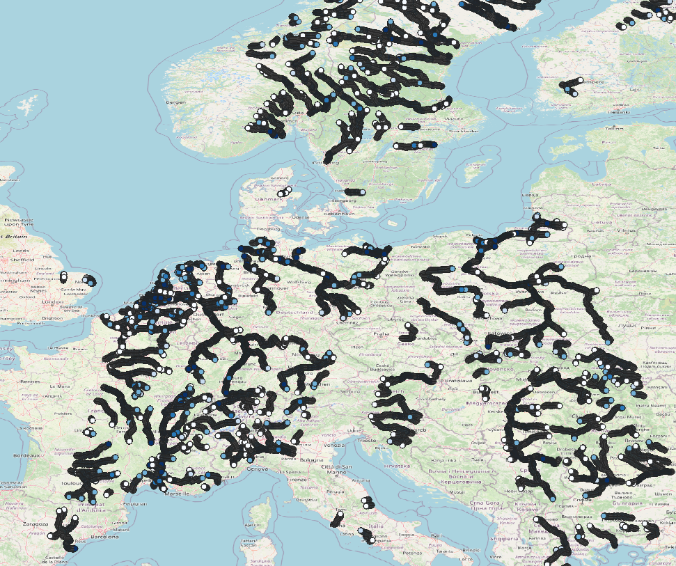
In this MSc thesis, you will assess the performance of earth observations to monitor flood damages (inundation depth, flood extent, river discharge) caused by Storm Boris. In particular, recently NASA and CNES have launched a satellite mission, called SWOT, which is the first satellite mission with dedicated application for inland water hydrology. We evaluate the performance of spatiotemporal coverage of the SWOT mission data to detect flood events, flood event peaks, spatial development of flood event (the flooding onset from Austria and the Czech Republic, and eventually spread to Poland, Romania, Slovakia, and then on to Germany and Hungary (source: Wikipedia). Further, we evaluate the performance of the SWOT data products over different types of rivers: e.g.: does the satellite perform well over large-width rivers but not so much over small-width rivers?
The student is expected to have some skills in hydrological analysis and in programming (preferably Python). The study location, in principle, can be changed, with preference to locations in North-West Europe or in Eastern Africa.
Key references:
Fu, L. L., Pavelsky, T., Cretaux, J. F., Morrow, R., Farrar, J. T., Vaze, P., ... & Dibarboure, G. (2024). The surface water and ocean topography mission: A breakthrough in radar remote sensing of the ocean and land surface water. Geophysical Research Letters, 51(4), e2023GL107652.
Cerbelaud, A., David, C. H., Biancamaria, S., Wade, J., Tom, M., de Moraes Frasson, R. P., ... & Thurman, H. R. (2024). Spatial Hydrographs of River Flow and their Analysis for Peak Event Detection in the Context of Satellite Sampling. Authorea Preprints.
Bertola, M., Castellarin, A., Viglione, A., Valtancoli, E., & Blöschl, G. (2024). Frequency and Spatial Variability of European Record Floods. Water Resources Research, 60(10), e2023WR036767.
Frasson, R. P. D. M., Schumann, G. J. P., Kettner, A. J., Brakenridge, G. R., & Krajewski, W. F. (2019). Will the surface water and ocean topography (SWOT) satellite mission observe floods?. Geophysical Research Letters, 46(17-18), 10435-10445.
Patidar, G., Karmakar, S., & Indu, J. (2022). Flood mapping from proxy surface water and ocean topography (SWOT) satellite mission data over India. Geocarto International, 37(27), 16636-16653.
Biancamaria, S., Lettenmaier, D. P., & Pavelsky, T. M. (2016). The SWOT mission and its capabilities for land hydrology. Remote sensing and water resources, 117-147.
