Open from sky - reproducibility of machine learning workflows
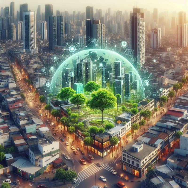
The impact of urban growth varies depending on whether it occurs within or beyond city boundaries. Unplanned city growth often comes with insufficient access to green open spaces, which are vital for human well-being. The absence of green spaces has several adverse effects, namely, few areas for recreation, increased temperatures, and lack of social interaction within communities, among others. Universal access to green open spaces is the focus of Sustainable Development Goal 11.7. However, cities are not providing reports on this indicator, which may be attributed to the complexity involved in its associated data collection.
Previous research has shown that using free-for-research resources and artificial intelligence (AI) for estimating green spaces from remote satellite images is feasible. However, the need for a general and reproducible workflow to address the estimation of green open spaces in cities still needs to be solved.
This research aims to design and implement a reproducible workflow for green open spaces identification utilizing remote satellite data and AI. The following candidate data sources are suggested:
- Sentinel2 images
- Planet images
- OSM and any other alternative data on open spaces
The suggested overall workflow of this research is as follows:
- Literature review of state-of-the-art AI models for urban areas identification
- Review on technologies for implementing the workflow, e.g., GEE, QGIS, Python libraries, and the opportunities and challenges of making the workflow fully reproducible
- Conceptual design of the workflow: data acquisition, data preparation, model training and prediction
- Implementation of the workflow
- Assessment of model performance
- Critical reflection on the workflow and its utility, with a specific focus on reusability by other researchers and for different areas of study
There is ample room and opportunity to shape this research project in consultation with the supervisors, and we expect students who choose this topic to take initiative to do so.
Aguilar, R.; Kuffer, M. Cloud Computation Using High-Resolution Images for Improving the SDG Indicator on Open Spaces. Remote Sens. 2020, 12, 1144. https://doi.org/10.3390/rs12071144
https://s3.amazonaws.com/sustainabledevelopment.report/2023/sustainable-development-report-2023.pdf
https://unstats.un.org/sdgs/metadata/files/Metadata-11-07-01.pdf