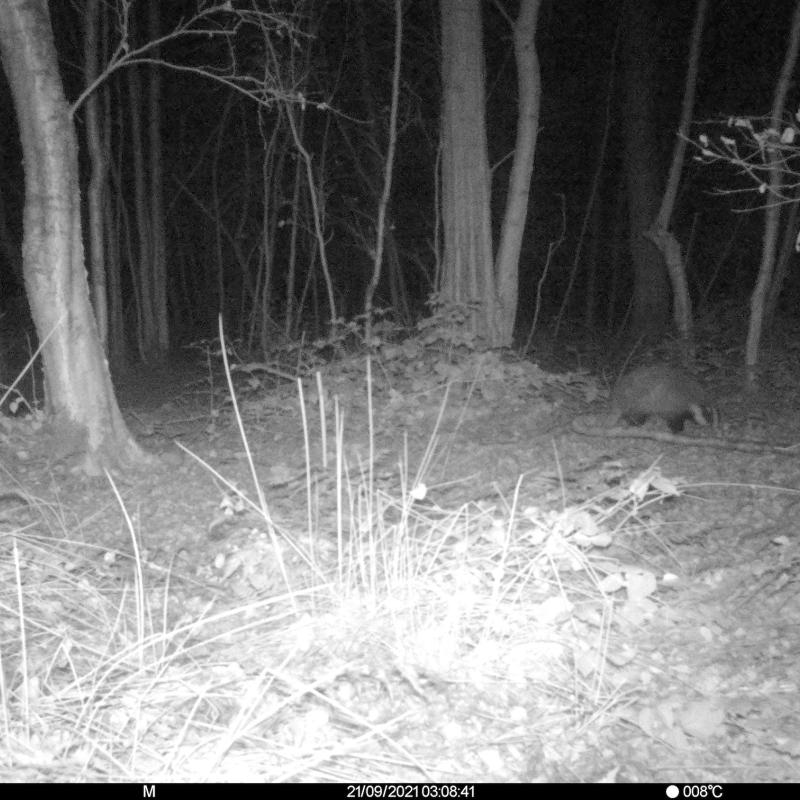
Monitoring wildlife with innovative detection methods like AUV’s or Camera Traps
The topic is open for also suitable for GEM students in track 1 – GEM for Urban-Rural Interactions.
The topic is open for also suitable for GEM students in track 3 – GEM for Ecosystems & Natural Resources.
Suggested elective: Species distribution and Environmental Niche Modelling.
Potentially work can be done by placing camera traps and collecting data, or by having a drone flight organized over a certain nature protection site somewhere in Overijssel. Alternatively, access to the Dutch Data and Flora back (NDFF) can be requested from the province to work on the distribution of a specific species.
The topic can take several directions depending on the interest of the student. The supervisors are in touch with representatives of the province of Overijssel and with the Netherlands Food and Consumer Product Safety Authority. The latter has the authority to monitor the populations of potential nuisance specie4s, while the Provincial government is the formal authority to manage these populations. Together with either of these we can scope a project that relate to wildlife monitoring and its societal implications.
Wildlife like wild boars or wolves is often seen by many urban residents as a sign of biodiversity and an enrichment of nature. At the same time certain species can for a threat to rural residents, because of predation risk for livestock (for example by wolves) or damage to crops (for example by wild boars) or transmission of diseases (for example by waterfowl or wild boars). To balance these interests, good monitoring of the population sizes are required. It is also important that these estimates are not contested by stakeholders that have an interest for either low or high values of these estimates. Therefore, estimates should be as objective as possible. Novel techniques like using Drones or Camera traps can help but they are not yet so well established and require further experimentation and testing. With existing data sets, or by generating new datasets, several options for a topic are possible.
The project can be scoped from very technical (Using AI to identify ad count different animal species from camera traps) to more a social item on whether presence of wildlife poses a problem for different stakeholders, and as such can range across the three domains of Spatial Engineering. These options can be discussed at the start of the project, and if needed, expertise from other department scan be looked for.