Blending Regional Climate Model rainfall data and Satellite rainfall estimates for hydrological and water resource applications.

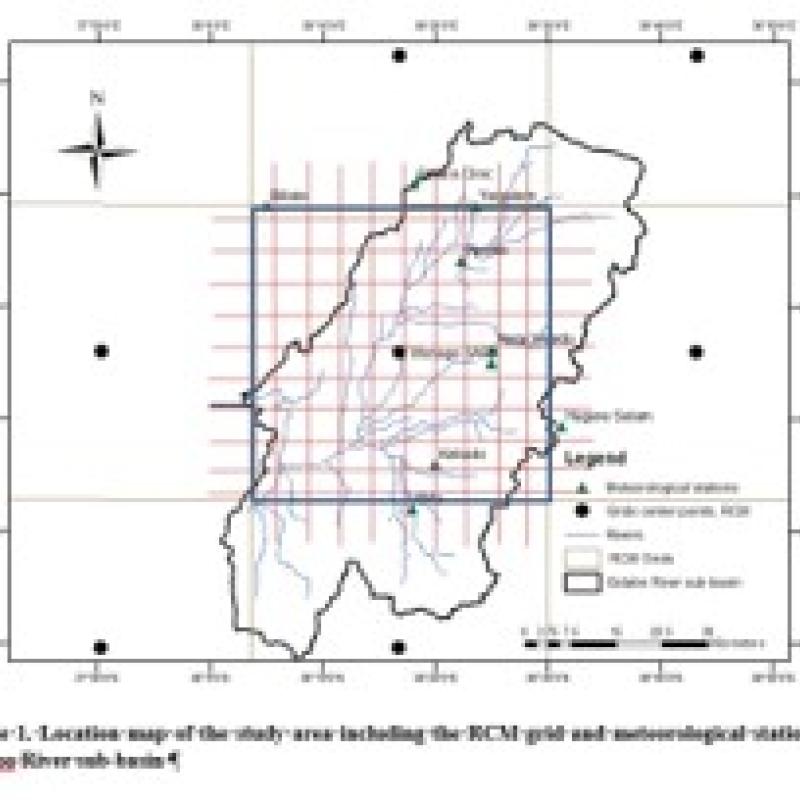
Rainfall data series from climate models (i.e. Circulation Models) only are available at grid resolutions of approximately 50 km × 50 km (or larger) whereas rainfall data series from satellites commonly are available at grid resolutions of approximately 8 km × 8 km (but range between 5 and 10 km). As such rainfall estimates, and also their use in modelling, are not directly congruent. As both rainfall data sources are widely used in large scale water resources modelling, an important question is how modelling results are affected by respective rainfall data sources. As this question still is unanswered there is need to evaluate performance of products, assess error propagation of respective rainfall products, and to evaluate if merging of respective products could result in an improved product. The area of study can be any region of CORDEX (Cordex – Coordinated Regional Climate Downscaling Experiment) but preference is for the East Africa domain as recent papers have targeted the East Africa domain.
The aim of this study is to evaluate the effects of respective rainfall data sources on water resource (and hydrological) modelling results. The study will use rainfall estimates from four ‘General Circulation model - Regional Circulation model’ (GCM-RCM) combinations available at CORDEX east Africa, and three SRE products. The study follows 2 recent publications on performance assessments of rainfall product.
https://scholar.google.nl/citations?user=XcQVh78AAAAJ&hl=nl
