Rising or falling Heath? Exploring capabilities of low-cost GNSS interferometric reflectometry on the Aamsveen Peatland
Possible suitable electives: Python Solutions, Statistics for Spatial and Spatio-temporal Data, Remote Sensing of Plant Productivity and Growth
Global Navigation Satellitye Systems (GNSS) receivers are commonly used as a positioning tool, but these are negatively degraded by reflected signals from nearby objects from buildings and other surfaces. GNSS interferometric reflectometry reverses this paradigm by considering the reflected noise as a source of signal. The signal to noise ratio of the reflections, which can be logged even on low-cost receivers, contain information on the geometry and reflective properties of the surfaces.
Both the height of the antenna above the reflecting surface as well as surface properties such as soil moisture and vegetation affect the signal to noise ratio. This makes a GNSS receiver potentially a tool to measure peat compaction and soil moisture when positioned at a suitable location on the Aamsveen.
In this thesis, the student will analyze observed series of signal to noise ratios of a low-cost GNSS-R receiver, based on the Actinius Icarus platform, which is to be placed at the Aamsveen near Enschede.
The student will analyze whether soil moisture changes are visible and with what accuracy surface height changes can be obtained.
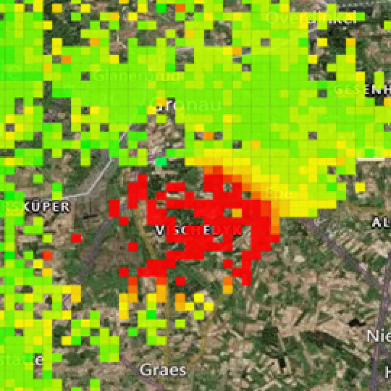
To validate the signals, satellite derived soil moisture and nearby land motion from the (bodemdalingskaart 2.0), will be used to evaluate the data from the GNSS-R sensor.
Visits to the site are foreseen to assess environmental factors which are potentially affecting the signal.
When placed at 4m height, reflected signals from the nearby surroundings will affect its signal to noise ratio. For low satellite elevations (yellow), the reflecting surface will be located further away.
This thesis will make use and expand the python module, which we have developed in house (https://github.com/ITC-Water-Resources/gnssr4water). As such, it is expected that the student is willing to learn some programming in python .
Roesler, C., Larson, K.M., 2018. Software tools for GNSS interferometric reflectometry (GNSS-IR). GPS Solut 22, 80. https://doi.org/10.1007/s10291-018-0744-8
Low cost GNSS Reflectometry over Rivers, Lubin Roineau, 2022, https://surfdrive.surf.nl/files/index.php/s/1eFg5CSDKBTWf5Z