Conceptual design of REST-based Geospatial Web APIs
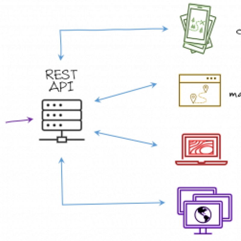
With the advent of the new OGC API family of standards it has finally become possible to design and implement fully REST based dissemination systems. Commonly geospatial web services are created just to comply with national standards and allow some level of access to geospatial information. Most of the time it is up to experts to take advantage of these services and perhaps used them to put together an application that servers a certain user community. Such an ad-hoc approach leads to very small exploitation of services and also limits the potential of reuse of some of the functionality developed in each individual case. The new OGC API standards are designed and conceived as building blocks to allow modular assembly of services for the Web. One limitation that has always existed is that we do not have a clear design approach to build these type of services and to generate implementations according to user requirements.
The focus of this research is to use the OGC API family of standards and the UML language to develop a design approach to create modern customizable geospatial Web services. This taking advantage of the modular structure of the OGC API which allows the construction of complex services by assembling them from granular building blocks. The resulting design approach will allow the use of services for the execution of geospatial tasks allong the whole production chain, ranging from data collection all the way to dissemination.
To develop a design approach for creating modern standards-based geospatial APIs

-
Rauf, I., et.al., Modeling a Composite RESTful Web Service with UML. ECSA '10: Proceedings of the Fourth European Conference on Software Architecture: Companion VolumeAugust 2010 Pages 253–260. https://doi.org/10.1145/1842752.1842801